
Clarksburg Neighbor Block Sources
A block lookup has several layers. Parcel maps show assessed parcels and public owner fields. Deed records explain transfers and boundaries. City business listings add public storefront context. Voter records use precinct and municipal geography under state access rules, but no official block-by-block voter portal was found. Historic directories and Sanborn maps give dated views rather than current neighbors.
| Source | What It Shows About a Block | Access |
|---|---|---|
| Parcel GIS and assessment | Adjacent parcels, owner and situs fields, acreage, class, map link | Public MapWV and county viewer; not an occupant roll |
| Harrison County deed index | Transfers, rights of way, plats, surveys, liens, recording dates | Public index; images and copy access vary |
| Clarksburg business directory | Public business name, category, address, service-area entry | Current city listing; not a private roster |
| Voter records | Registration fields allowed by state law within selected jurisdictions | Inspection or lawful request; no block portal found |
| Sanborn maps | Historic structures, uses, streets, industries, district labels | 1884, 1890, 1911, and 1916 maps; no resident names |
| Directory street listings | Dated household and business snapshots by house number | Selected archive years; reverse holdings not verified |
An owner name can be useful, but it must stay labeled as an assessment or deed result. Renters, family members, and other occupants may not appear. An LLC or distant mailing address makes the owner-occupant gap even clearer.
Map Clarksburg Neighbors by Parcel
The Harrison County GIS viewer is the local map entry point. The state MapWV assessment search adds county, district, Root Parcel ID, owner, street, map, parcel, land use, appraisal, acreage, deed book and page, legal description, structure, and mailing-address fields. County documentation warns that tax maps are assessment references, not surveys.
The county GIS screen below provides the official route into the parcel view used for nearby-property context.
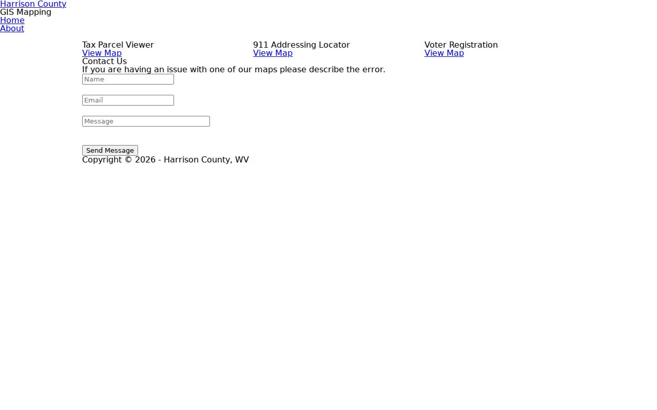
Use the map to identify nearby parcels, then open each record separately. A colored polygon or close visual position does not settle a legal boundary.
- Normalize the starting address and locate its situs, which means the property-location address, in MapWV or county GIS.
- Record the Root Parcel ID plus district, map, parcel, and suffix. Those parts help if another portal does not accept the full ID.
- Click outward one parcel at a time. Record only the owner field, situs, mailing field, class, acreage, and map link needed for the question.
- Compare each important edge with a deed, plat, survey, right of way, or legal description from the Harrison County Clerk.
- For every property along a full named road, shift to the Clarksburg street directory workflow.
Note: MapWV owner-mailing fields and situs fields answer different questions, and neither alone confirms that a person is physically present.
What Clarksburg Parcel Adjacency Means
Adjacent map shapes show assessment geography. They can reveal the order of parcels, approximate acreage, tax class, a road edge, and a public owner field. They may suggest where a block begins or how lots relate. They do not prove a shared fence, access right, household, friendship, or dispute.
For a boundary or access question, the recorded deed controls the trail. Search the Harrison County IDX Search by grantor, grantee, and document type. Preserve lot and block, subdivision, metes and bounds, road, creek, railroad, adjoining-owner language, deed book and page. A plat is a recorded drawing of lots or boundaries. A survey is stronger than a web map for a field boundary, though legal advice may still be needed.
- Situs address
- The location assigned to the property, separate from the owner’s mailing address.
- Parcel
- An assessment unit identified by district, map, parcel, suffix, and related parts.
- Plat
- A recorded drawing that can show lots, roads, easements, or subdivision lines.
- Right of way
- A recorded interest allowing travel or another stated use across land.
Clarksburg Neighbors and Voter Records
West Virginia law allows inspection of active, inactive, rejected, and canceled registration records during office hours through printed lists or a read-only terminal. Under W.Va. Code §3-2-30, public fields can include name, residence address, party, status, registration details, and voting information. Phone, email, Social Security number, driver-license or nonoperator ID data, and other protected fields are excluded.
The Secretary of State request form supports county, municipal, precinct, congressional, legislative, and magisterial selections. It does not offer a verified public block search. Requested lists also carry a signed certification and restrictions on solicitation, advertising, resale, and reproduction. For a personal status check, the state tool requires first name, last name, and date of birth and updates nightly.
Use voter data only in the form lawfully provided and never republish a private-person block roster. A registration address is a dated government record, not proof that someone is home now. Municipal, precinct, postal, and parcel boundaries also differ around Clarksburg.
Clarksburg Community Directory Limits
No authoritative current directory of Clarksburg neighborhood associations, membership lists, or block clubs was found. That gap matters. Do not turn an old place name, city board, congregation, or informal group into proof that a resident belongs to an association.
The Clarksburg city contacts directory is the official umbrella route when the right city department is unclear.
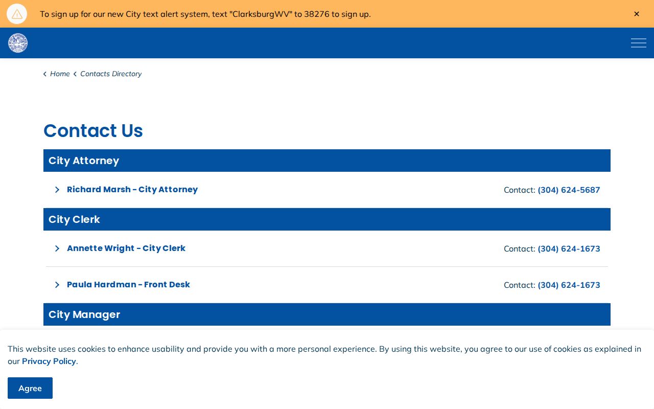
The directory can route an address, code, map, permit, or public-record question, but it does not supply private neighbor profiles or association rosters.
City Clerk
Use the City Clerk for a narrow written request for an address assignment, annexation file, or responsive city record. Clarksburg’s policy permits email, mail, or hand delivery.
Code Enforcement
The city permits hub links building, extension, closure, vacant-property, and Cloudpermit routes. No public historical permit index was located.
County Clerk
Request a named deed, plat, survey, right-of-way item, road record, or instrument image from 229 S Third Street when the index is incomplete.
A focused request should name the street segment, old and new number if known, date range, and record type. Ask the custodian to identify responsive records, not to decide who counts as a neighbor.
Historic Clarksburg Neighbors by Year
Sanborn sheets and city directories can reconstruct an older block without claiming a current resident list. The 1911 and 1916 maps name Adamston, Stealey Heights, Broad Oaks, North View, Norwood, Grasselli, Industrial, Point Comfort, Golf Plaza, and New Fair Grounds. These words may mark a district, development, industry, or landmark. Keep the map year and sheet with the label.
State Archives holdings list selected Clarksburg directories from 1900-01 through 2016. A street listing can connect a printed name to a house number in one edition. Compare nearby entries, then test each against census, deed, obituary, or newspaper evidence. Do not assume the next available volume represents the years between.
Main, Pike, and Third Streets also frame today’s downtown records area. The courthouse stands on W Main, City Hall on W Main, and the clerk, assessor, and circuit clerk offices on S Third. That office pattern helps explain a record’s custodian. It says nothing by itself about private households on those roads.
Note: Clarksburg’s uneven street development and later annexation context make a dated plat or legal description more reliable than an old neighborhood label.
Official Clarksburg Neighbor Records
Commercial neighbor tools combine data from unclear dates and may blur owner, resident, mailing contact, and relative. Official sources are narrower. That is their strength. A parcel roll tells what the assessor displays. A recorded deed identifies parties and land. A voter record follows statutory fields. A city directory prints a dated public listing.
| Source type | Best use | Main limit |
|---|---|---|
| Official parcel and deed records | Identify assessed parcels, public owners, instruments, and legal descriptions | Owner is not the same as occupant |
| Official voter access | Read only fields and geography allowed by law | No block portal; use and redistribution are restricted |
| City and archive sources | Add a public business or dated historic block view | Listings can be selective, historic, or incomplete |
| Commercial category | Possible lead only | Source dates, merges, and correction paths can be unclear |
Use an official date and neutral verb: the assessor “lists,” the index “shows,” or the directory “prints.” Two names at close parcels are simply two record entries until another lawful source explains the link.
Privacy for Clarksburg Neighbors
Public geography should not become a private-person dossier. Utility, delivery, and household-member data are not public block tools. Family, adoption, juvenile, sealed court, and restricted vital records have their own limits. West Virginia’s Address Confidentiality Program gives eligible survivors a substitute-address route for covered agency dealings. Never try to reverse that protection by joining open records.
Minimize exact addresses when a street, block, parcel reference, or historic year answers the question. Redact protected details. If a search suggests an ACP participant or another protected person, stop and use the lawful agency route. An absent name also proves nothing: renters may not appear in land records, a directory may skip a year, and a voter record may use protected handling.
Lawful use. Use Clarksburg neighbor records for civic awareness, history, a boundary question, or a safe introduction. Never watch, expose, threaten, intimidate, or harass a person.
The best block record is often less personal than expected. A dated map, parcel ID, plat, street segment, business category, or historic district can answer a sound question without publishing who lives behind each door.